What is a map?
The map is a simplified and reduced drawing of an area, viewed from above. The map can depict a forest, a residential area, a schoolyard, or the interior of a building. Imagine that you are sitting in a helicopter or filming with a drone. Then you see the area from above.
The most important orienteering tool
The map is the most important tool in orienteering. There are several types of maps used for different purposes, such as mountain maps, sea maps, city maps, hiking maps, and orienteering maps.
What is this map?
Compare maps and aerial photographs
This is the school area with buildings, playgrounds, trees, and grass. Drag the slider to compare the aerial photo with the orienteering map of the same area.
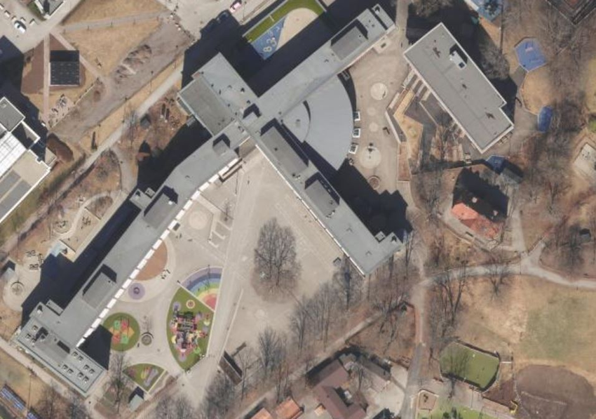
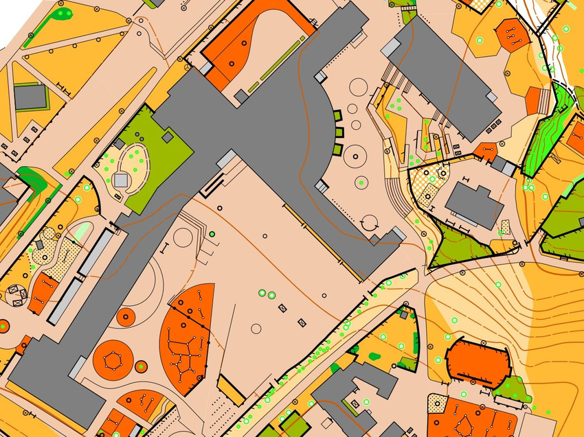
The aerial photograph shows the same area as in the orienteering map.
TIP
Keep all the maps you receive when traveling to new places, visiting amusement parks or museums. It's fun and useful to review them after the trip.
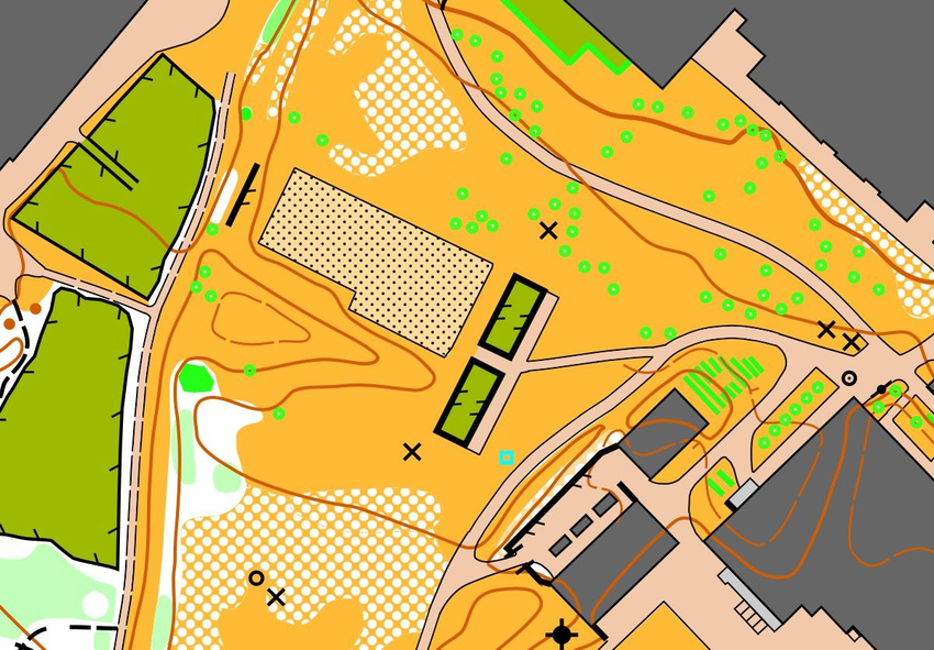
Where is more information: on the orienteering map or on the hiking map?
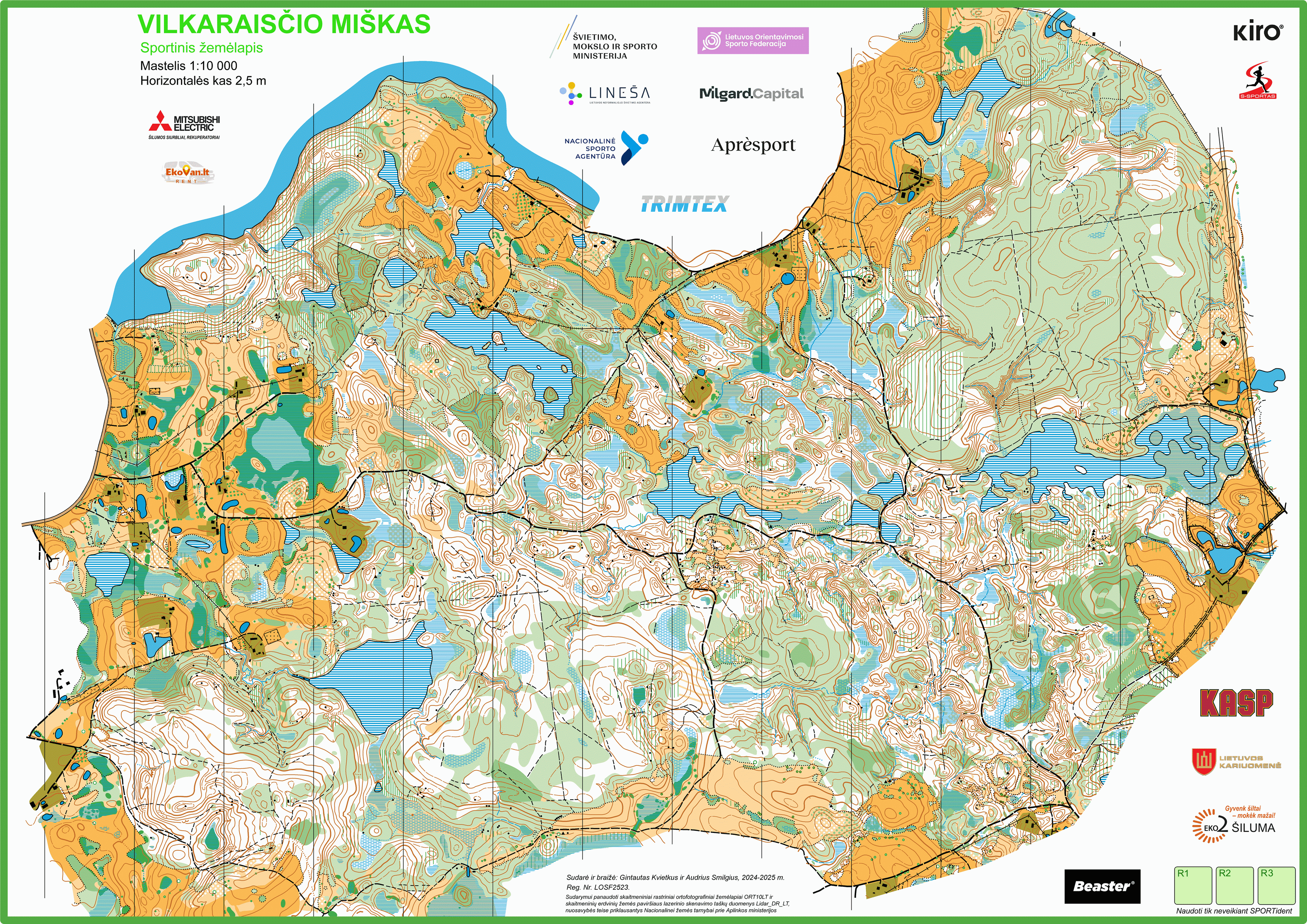
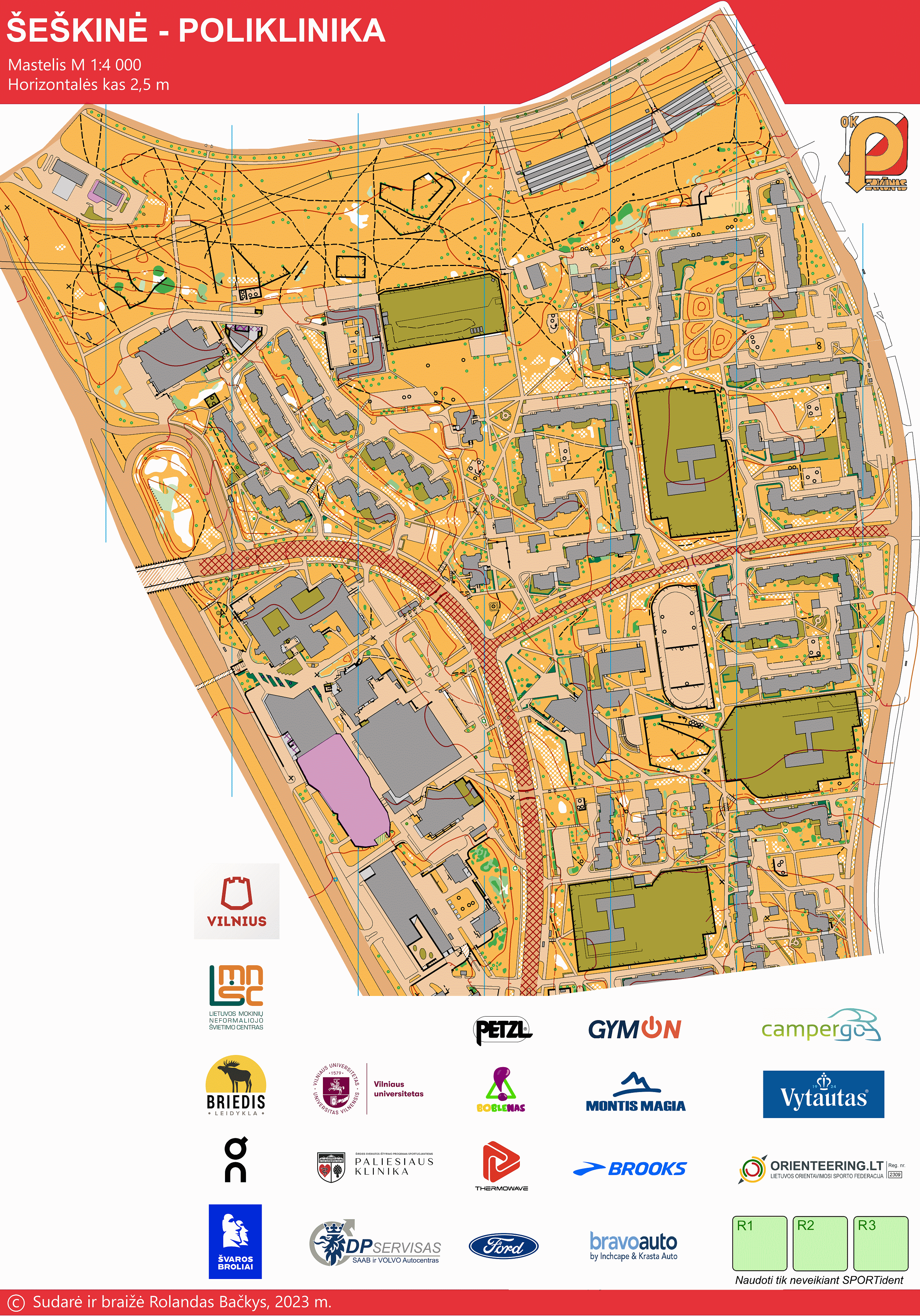
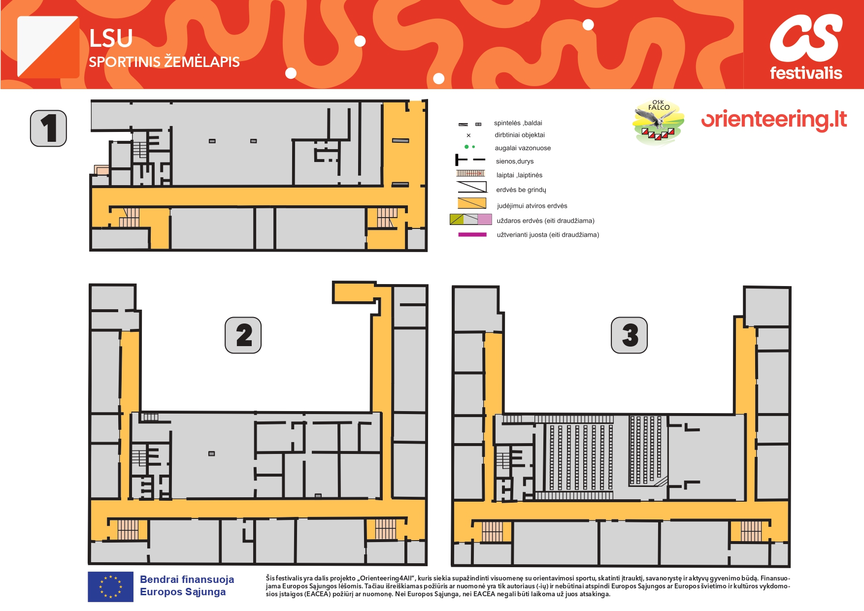
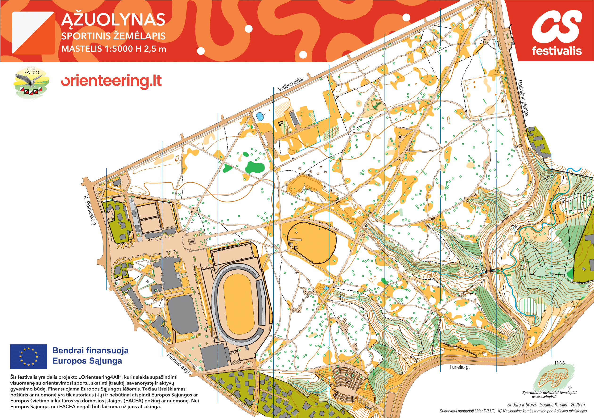
By clicking on the map names, you can view different types of orienteering maps:
Maps depict many details in the area, but not all. There is no space for that. The map author selects the big and important details and omits those that are too small and not as important.