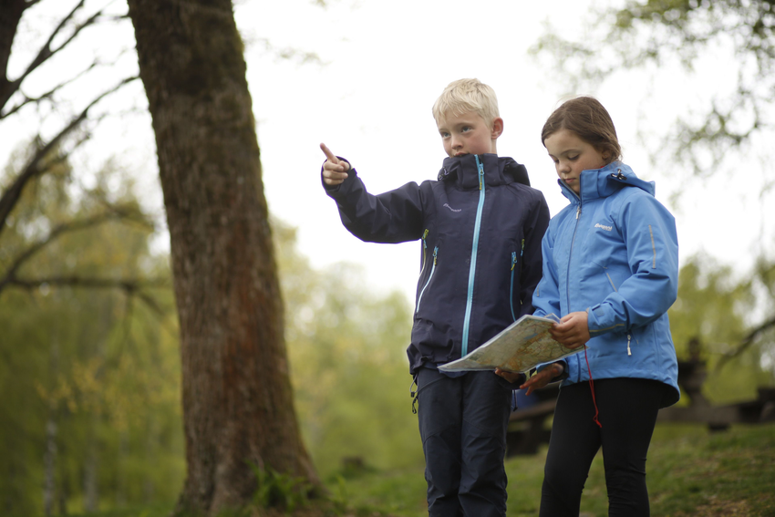
Moving forward, you should constantly get used to keeping the map oriented, especially when changing direction. The map must always correspond to the terrain. However, when changing direction, the map usually follows your body and turns in the wrong direction. Therefore, get used to reorienting the map every time you look at it.
Map Orientation with Terrain
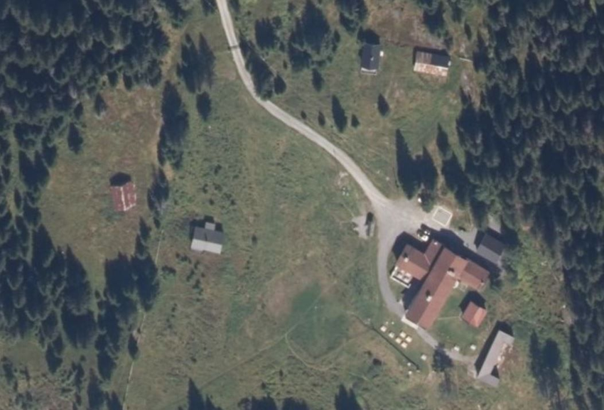
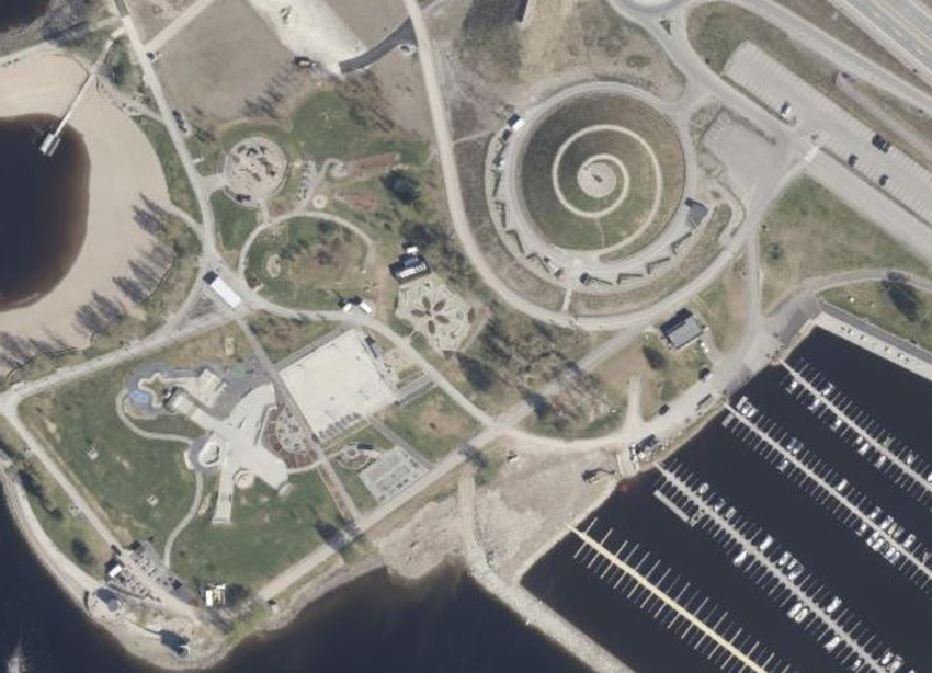
Every time you read a map, you should first turn it in the correct direction. This is called orienting the map with the terrain. Here's how to do it: hold the map horizontally in front of you. Survey the terrain and look for easily visible trails, roads, streams, forest boundaries, buildings, or sports fields. Find the same information on the map. Rotate the map until it aligns with the terrain. The map matches the terrain - the map is oriented with the terrain, making it easier to read!
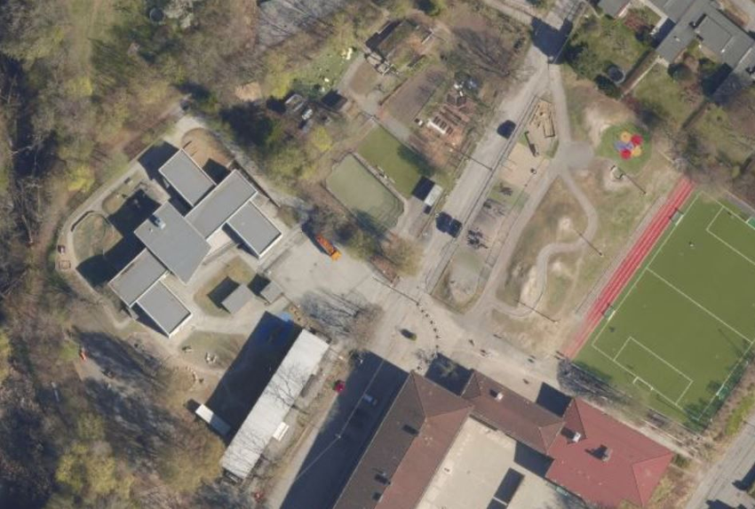
Map Aligned with Terrain
Press the buttons and you will see that the maps are oriented to the location
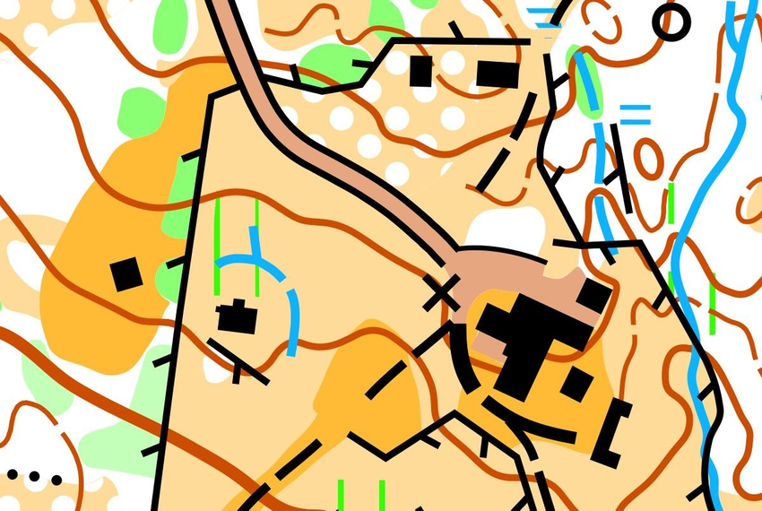
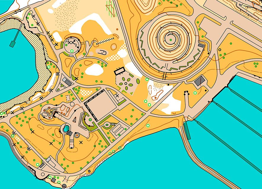
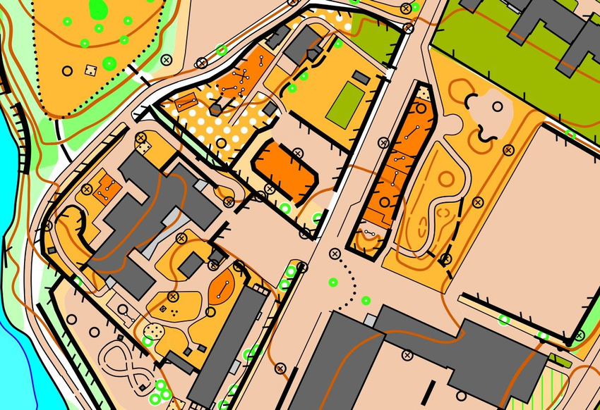
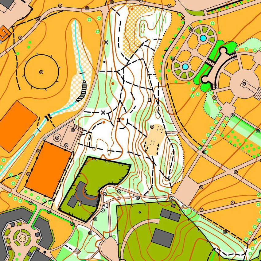
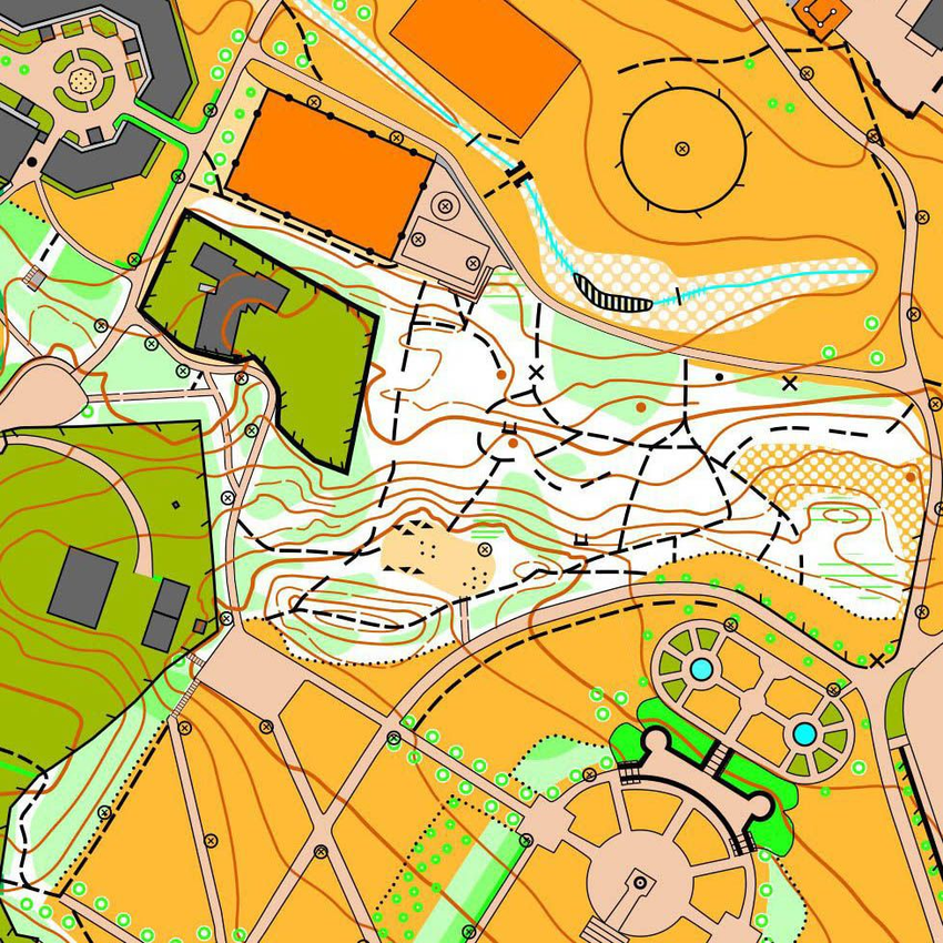
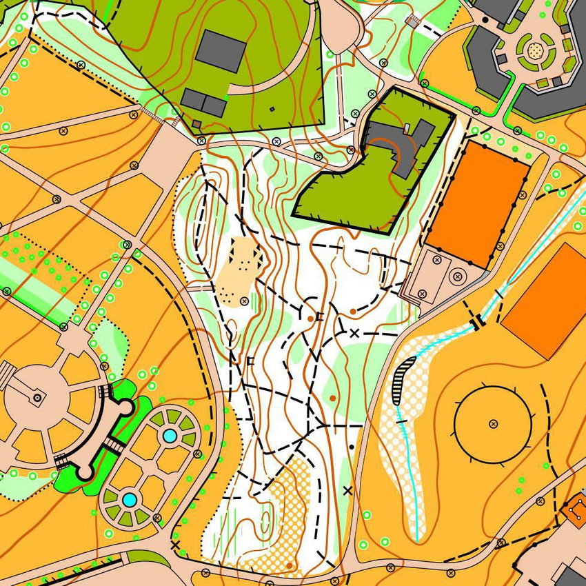
Which map is oriented to match the location?

TIP!
Use a distant but still visible object, such as a tall tower, mountain peak, or high building, and navigate on the map using it. You can use a compass to orient the map. You will learn more about this later.
