Best for you!
There can be various alternative options from one checkpoint to another. Choosing an option means deciding to go with one of them.
The most straightforward option is a straight line, but there are always other detours that are easier, faster, safer, less tiring, and more enjoyable than a straight path. The challenge in choosing an option is to find the one that suits you best!
This map shows three routes from point 1 to point 2:
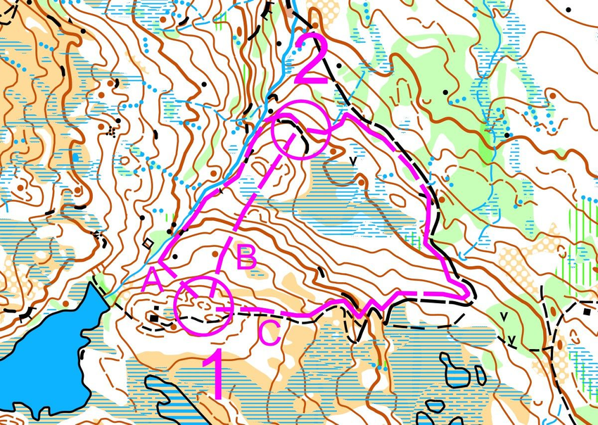
Option A is shorter, going left along the creek.
Option B goes straight with no good linear landmarks.
Option C goes far around to the right on a road.
Route choice rules can be such as:
○ A readily found path that you consider safe and reliable.
○ Easy to move forward, thus conserving energy.
○ Fast to walk/run, allowing you to maintain higher speed.
Plan wisely, sensibly
Before you start heading to the next point, you have to plan your option. Start by finding 2-3 possible options on the map and evaluate: Is it worth going straight, trying to tie up, or going around according to linear landmarks? From which side is it easiest to find the point? Which linear landmarks can you follow, and what clear landmarks can you look for along the way? Which option is best if you want to stay connected with the map until a clear landmark near the point?
TIP
Make sure to find a completely clear reference point that is as close as possible to the point. This point is called the "last safe" or "anchor point". The anchor point should be a terrain feature that is clearer and larger than the point you need to find.
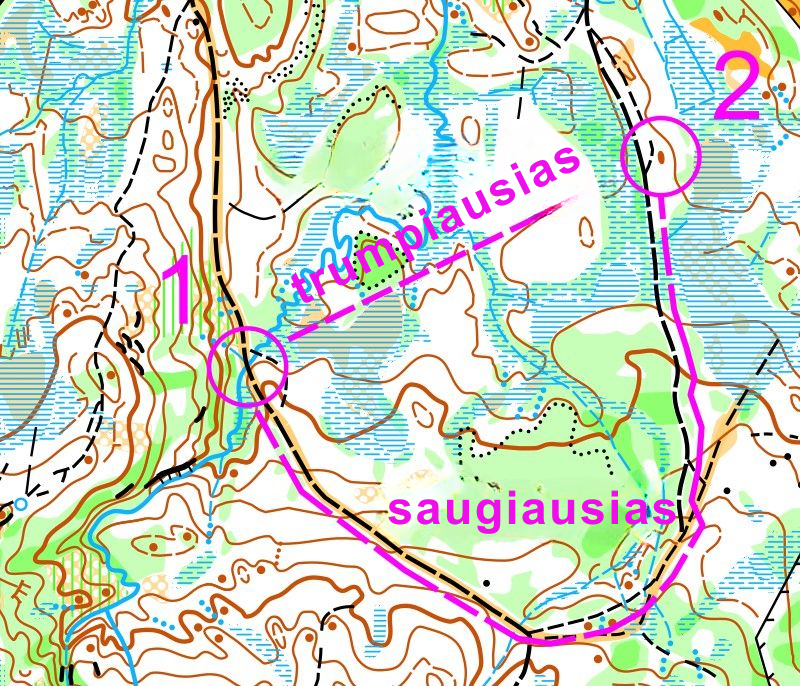
If you don't have much experience, should you choose: the SAFEST route? or the SHORTEST route?
Stick to the plan
Having chosen an option, you should:
1. Keep the map oriented at all times.
2. Keep your thumb on clear landmarks as you pass them.
3. Trust your decision, do not change the option along the way.
4. Use the compass as an auxiliary tool.
Variation selection example
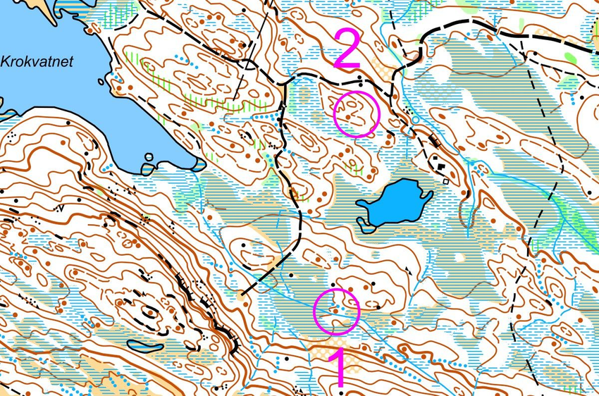
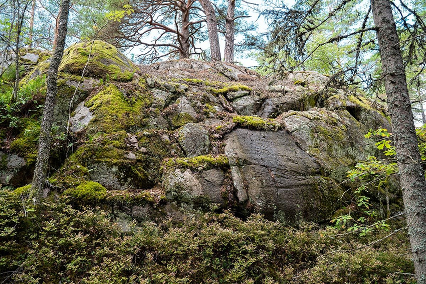
Stand on a small hill, point No. 1. The next point is in the ditch, in the hollow. There are at least three good road options, which one is the best?
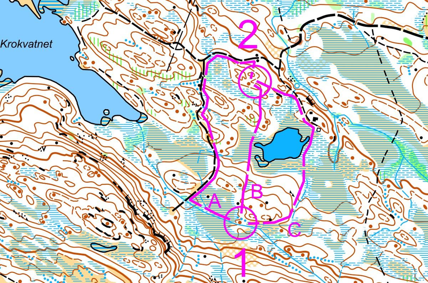
A. To the left. Walk along the stream, along the path. The last clear landmark - two stones.
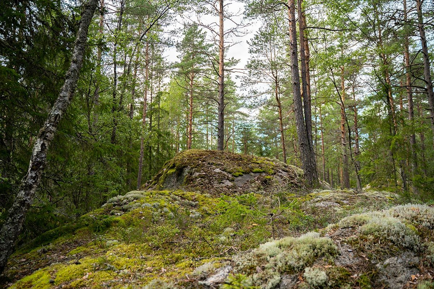
B. Straight. You descend the hill, pass the body of water, through the hill and marsh, until you reach another hill where the checkpoint is.
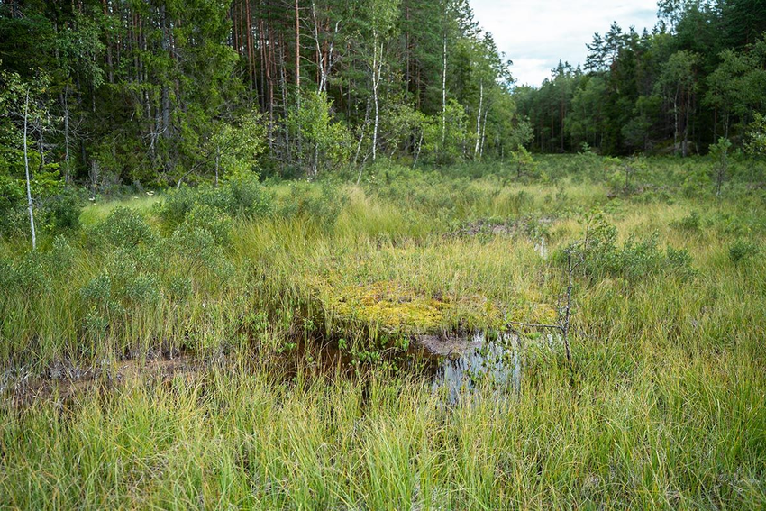
C. To the right. Walk along the edge of the marsh behind the hill, then along the stream downwards, the body of water will be on the left, walk up towards the cabin on the hill, walk the road west until you reach the stream, then turn left towards the checkpoint.
Look around, nearby!
Click the buttons to learn what to avoid:
Options for Fast and Slow Variants
This animation shows 3 different choice options. Which one suits you best? Please note that on difficult terrain, the point moves slowly, while on easy terrain - fast.
