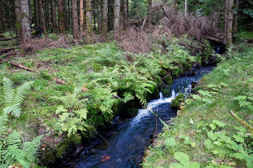
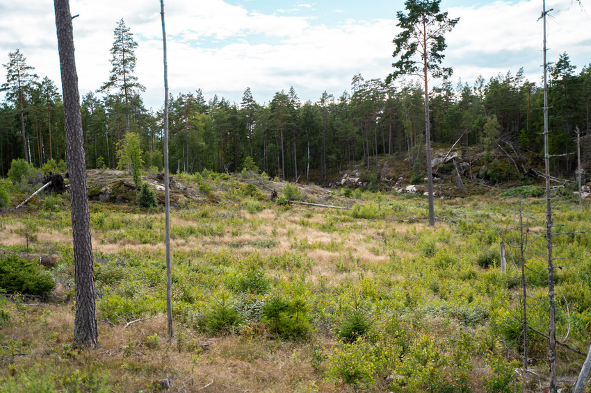
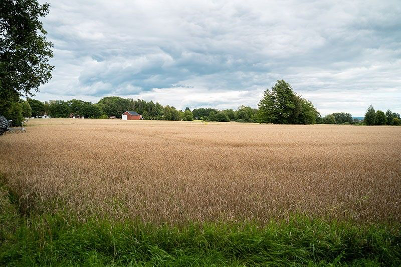
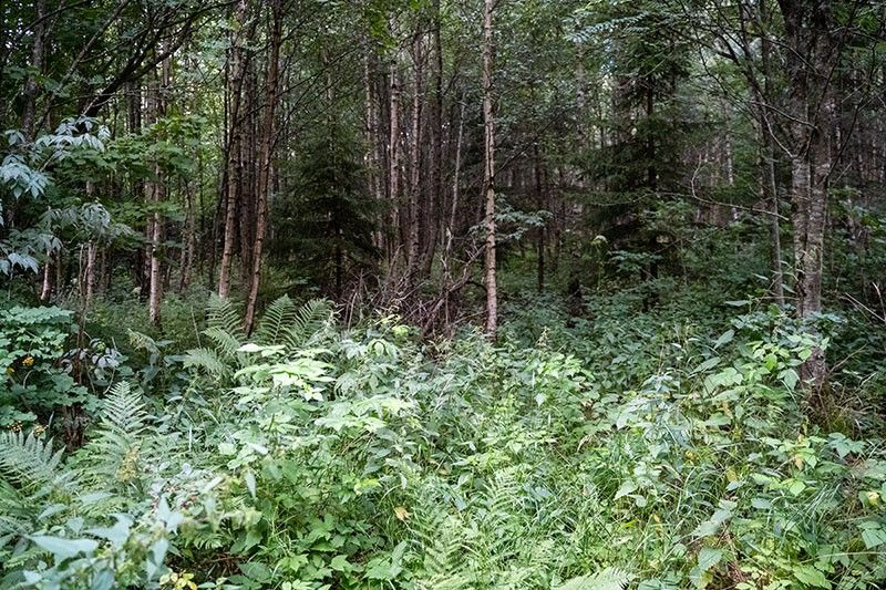
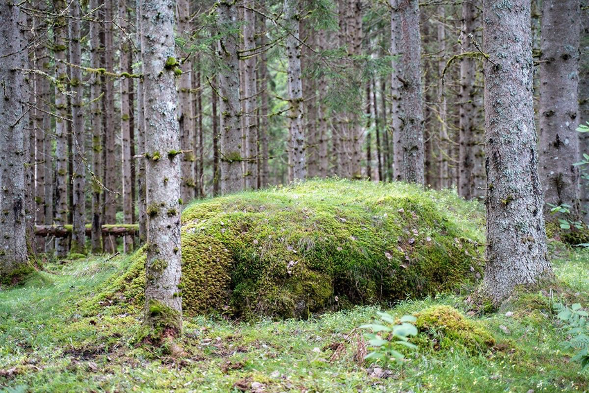
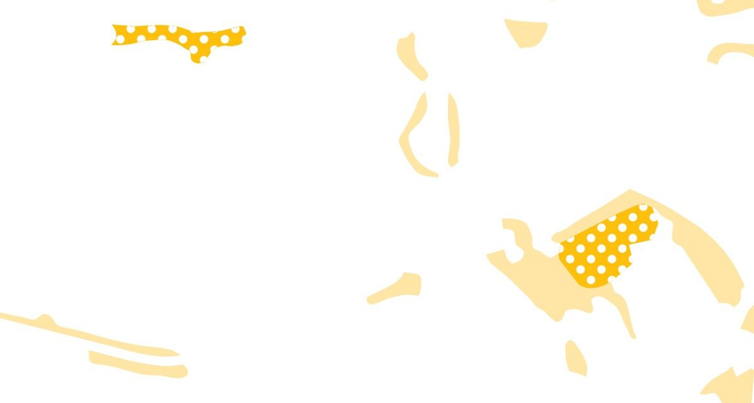
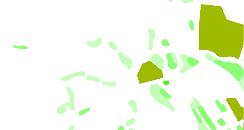
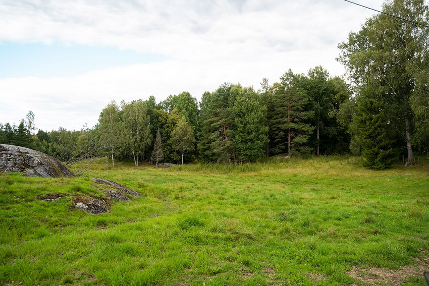
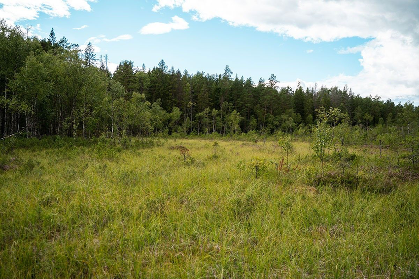
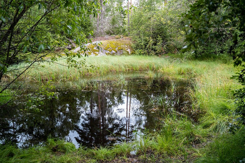
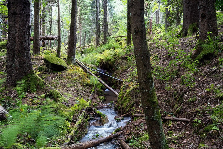
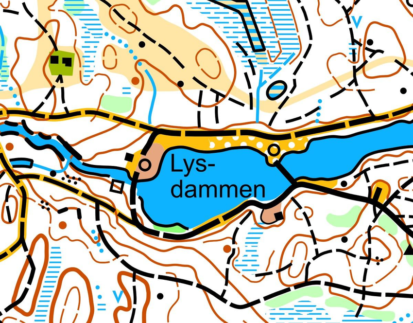
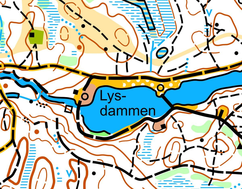
Colors in an orienteering map
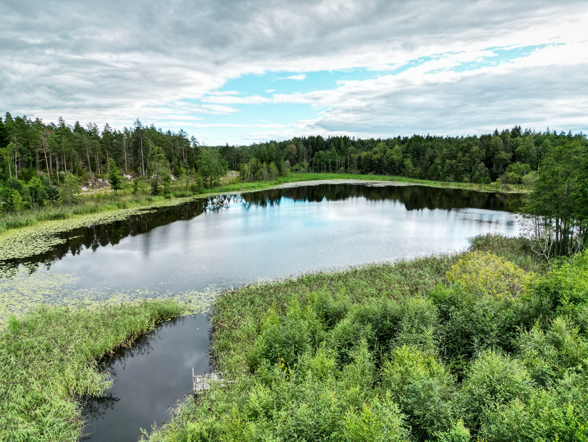
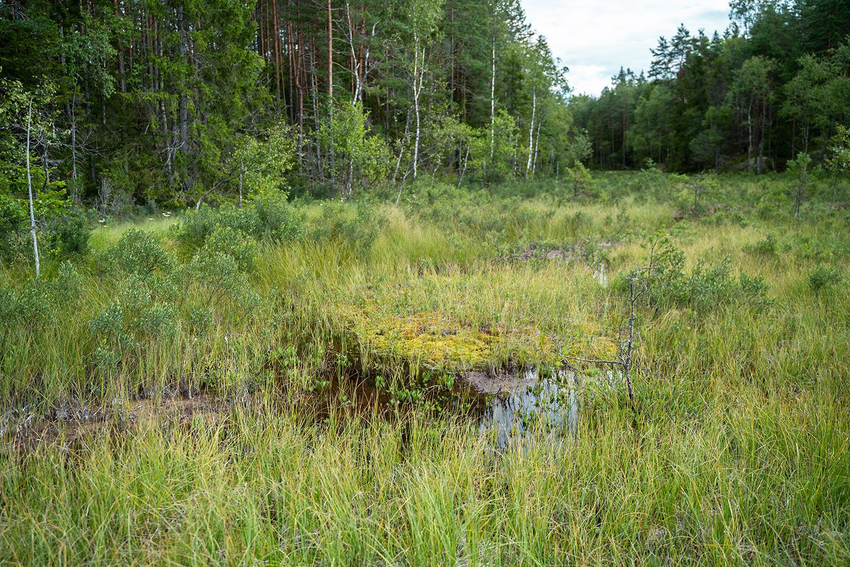
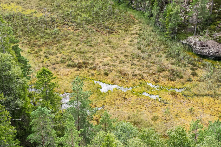
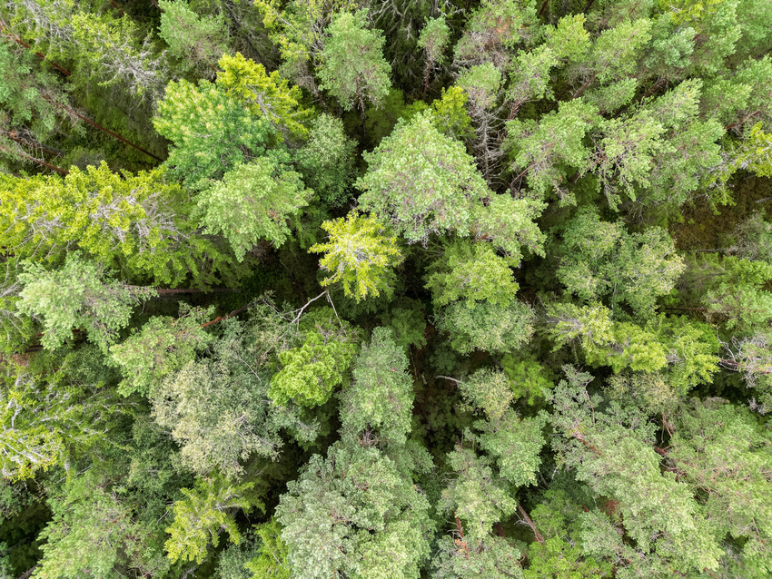
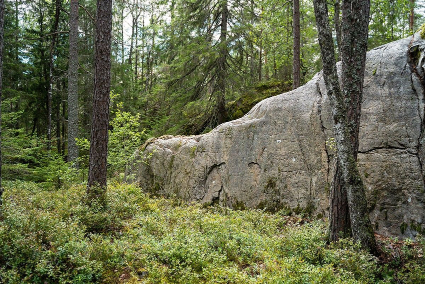
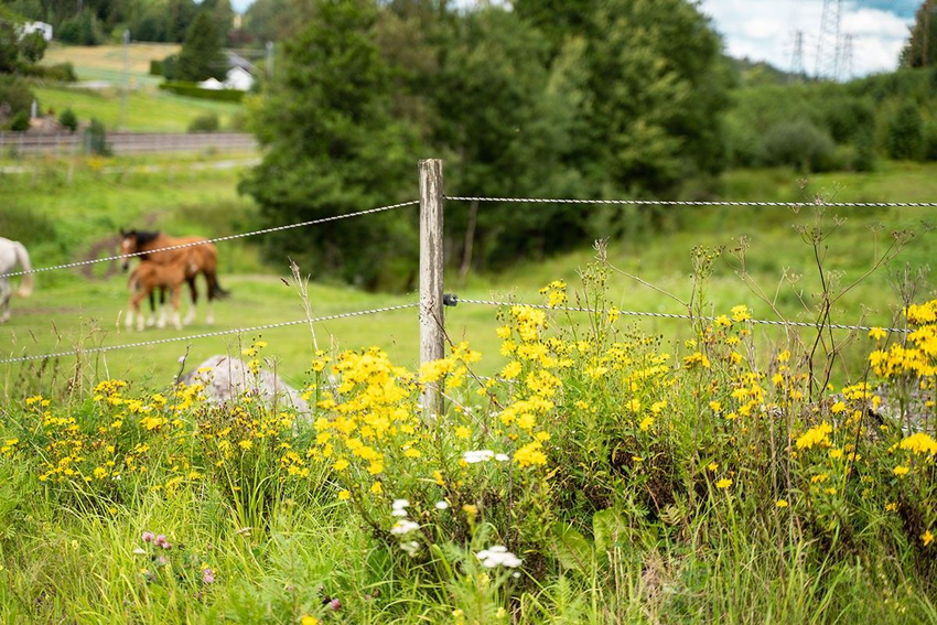
Here you can see an aerial photo of the same location and an orienteering map. By dragging the slider, you see that the map has different colors than the aerial photo. On the map, the colors are different from those you see in the location. Location details are depicted using symbols of various colors. Symbols can represent an object, such as rocks, roads, and buildings, or an area, such as dense forests, swamps, and fields.
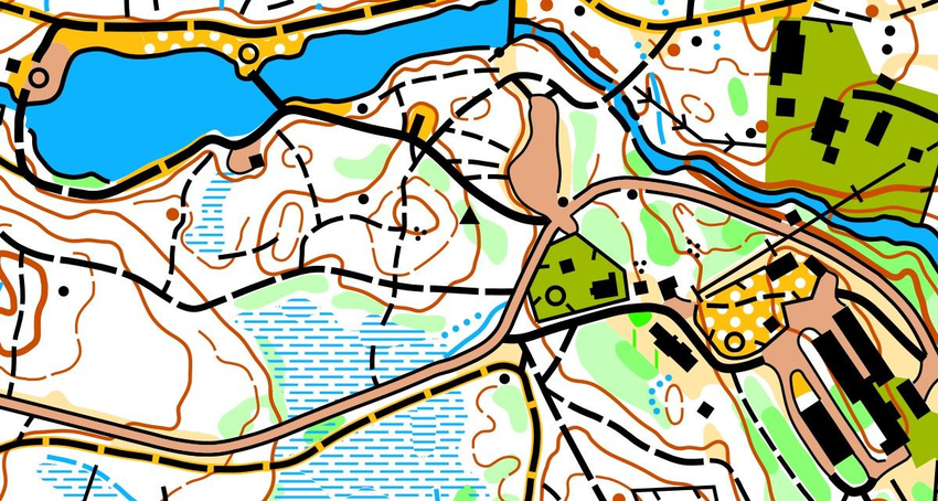
Try to memorize the meaning of the map's colors
There are 6 different colors on the orienteering map. Tap the color buttons to see what they symbolize.


Diversity of map colors
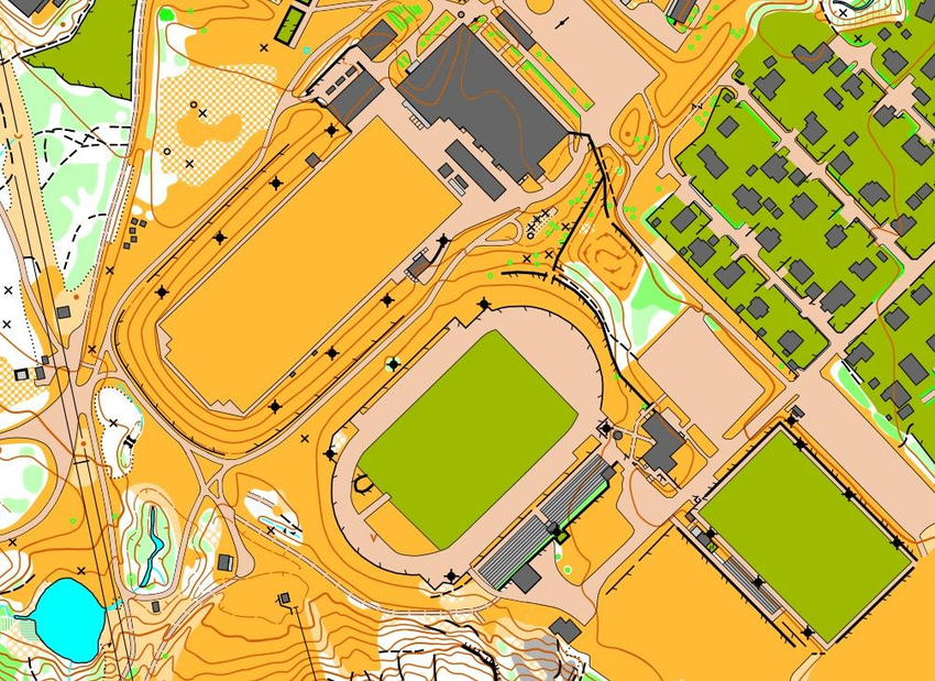
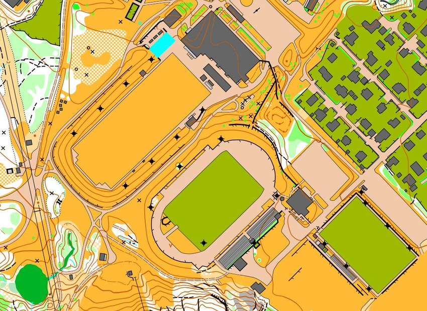
These maps depict the same area but in different colors. The last map is how an orienteering map should be!
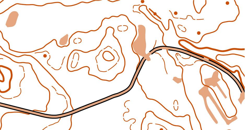

TIP
Remember:
○ Black is firm
○ Blue is wet
○ Yellow is open
○ Green is dense
○ Brown is terrain or road
○ White is light


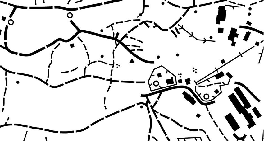
Click the map icon to learn what it represents
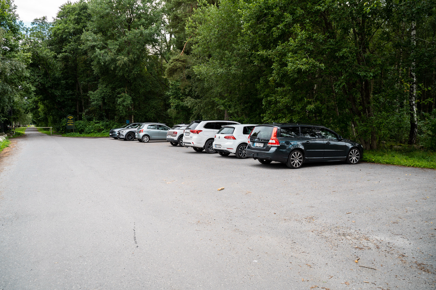
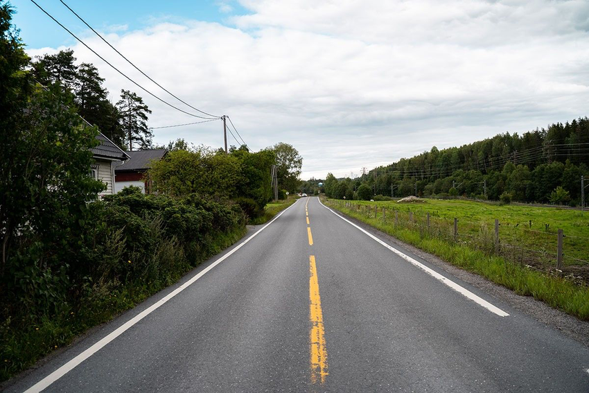
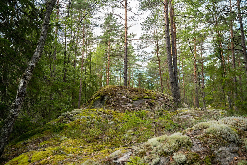
Maps depict many details that you can see in the area, but not all. There is no space for that. The map author selects the big and important details and omits those that are too small.


TIP
Most maps contain a legend so you won’t have to remember everything.
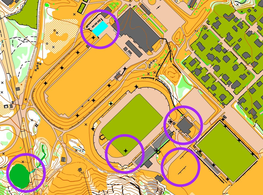
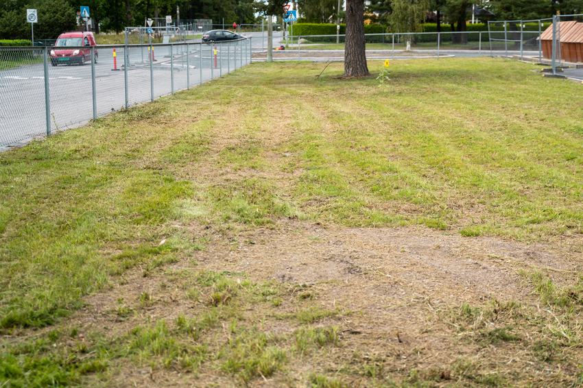
What 5 details are missing on map no. 2?

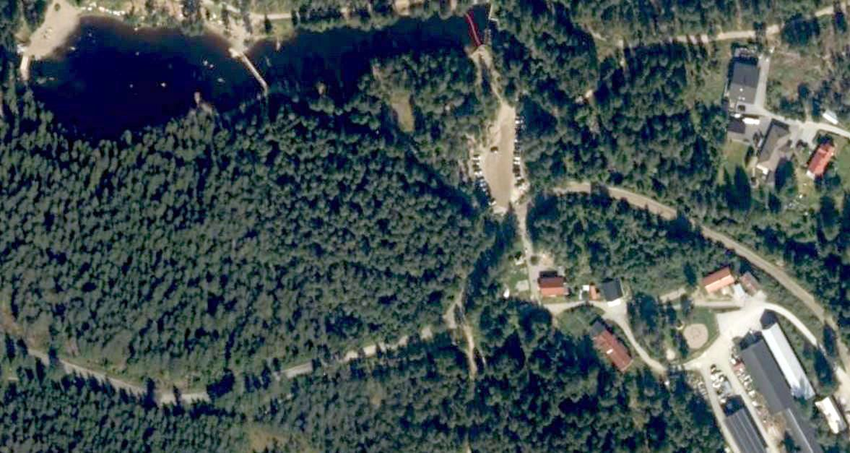
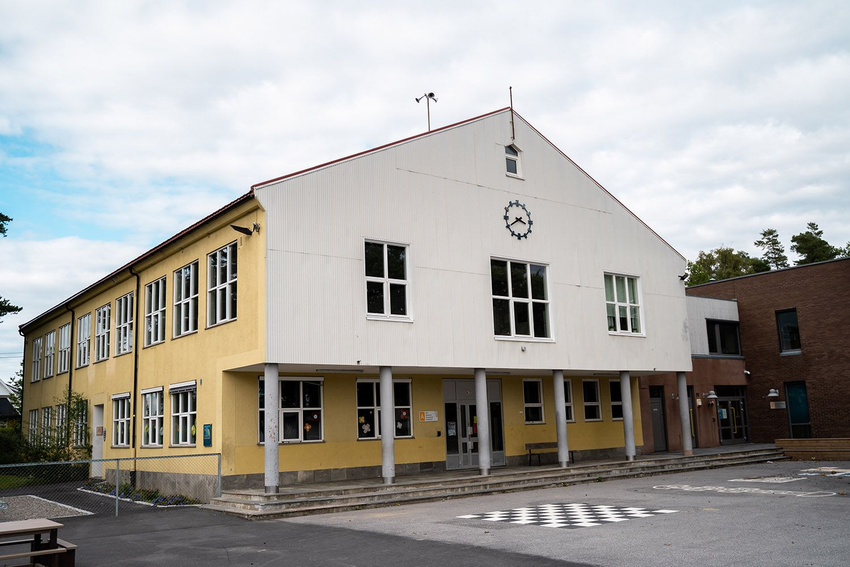
This is a map of the schoolyard. Which of the four maps A, B, C, and D is exactly the same?

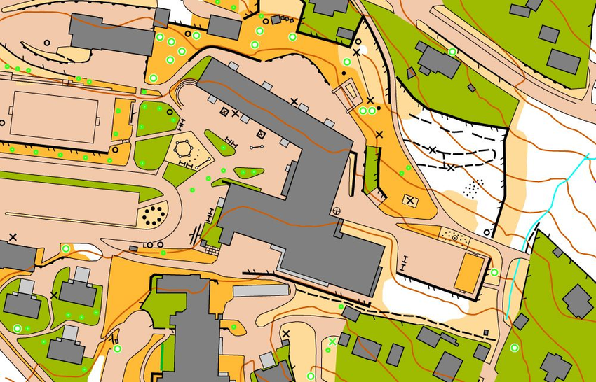

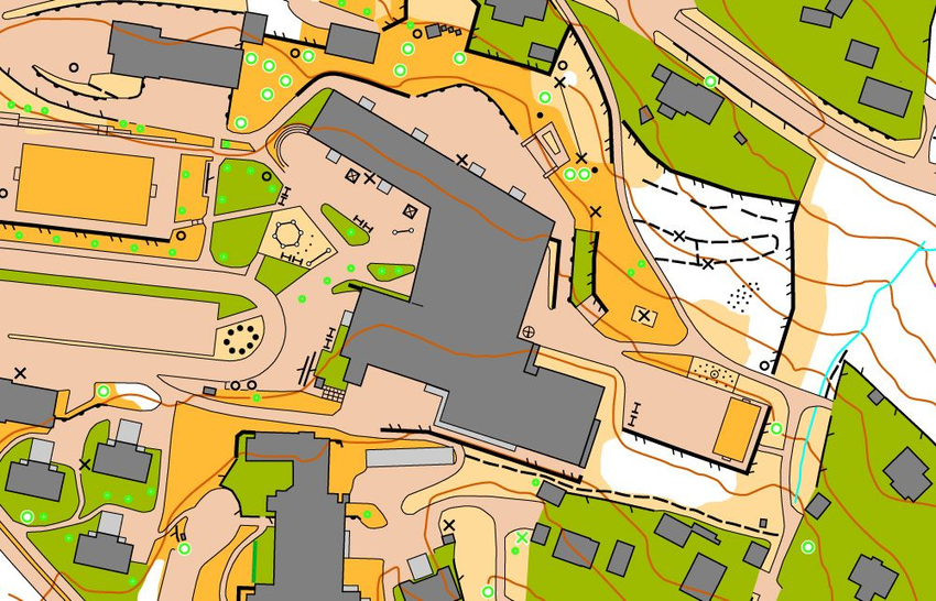


Which 5 details were changed on map No. 2?